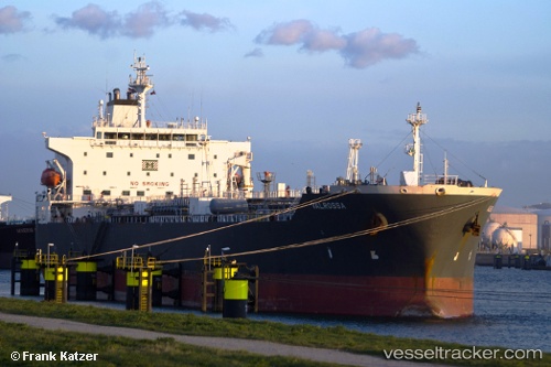
 ROSSA
ROSSA
Current Status
Where is the vessel?
ROSSA is currently in Near Good Hope, based on AIS data received about 14h ago.
Latest AIS update:
Current position: 29.95838° N, 90.39435° W (Near Good Hope)
Average speed (last 7 days): Loading…
Average speed (last 30 days): Loading…
Vessel profile: ROSSA is a Oil/Chemical Tanker with dimensions m x m.
This page combines live AIS, route history, probable destination signals, nearby traffic, and port activity for practical vessel monitoring.
The current position of vessel ROSSA is 29.95838 lat / -90.39435 lng. Updated: 2026-05-20 16:18:38 UTCNearest reference points:
- Near Good Hope
- Near Boutte
- Near Port Of South Louisiana
Currently sailing under the flag of Bahamas ![]()
Details:
Live Vessel ROSSA Analytics (details, animations, etc.)
Recent AIS points (UTC):
2026-05-20 13:44:54 UTC · 29.98808, -90.40098 · SOG 0 kn · COG 314°2026-05-20 13:57:02 UTC · 29.98814, -90.40100 · SOG 0 kn · COG 314°
2026-05-20 16:07:52 UTC · 29.98325, -90.39801 · SOG 5.4 kn · COG 164°
2026-05-20 16:18:38 UTC · 29.95838, -90.39435 · SOG 10.7 kn · COG 172°