 FRONTERA
Current Status
Where is the vessel?
FRONTERA is currently in Near Willemstad, based on AIS data received about 14h ago.
Latest AIS update:
Current position: 12.12210° N, 68.93490° W (Near Willemstad)
Average speed (last 7 days): Loading…
Average speed (last 30 days): Loading…
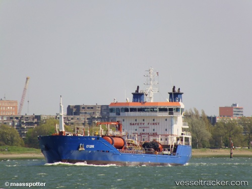
Vessel profile: FRONTERA is a Oil/Chemical Tanker with dimensions m x m.
This page combines live AIS, route history, probable destination signals, nearby traffic, and port activity for practical vessel monitoring.
The current position of vessel FRONTERA is 12.12210 lat / -68.93490 lng. Updated: 2026-07-02 09:43:43 UTCNearest reference points:
- Near Bullenbaai
- Near Las Piedras
- 24 nm NW of Palm Beach
Currently sailing under the flag of Panama ![]()
Details:
Live Vessel FRONTERA Analytics (details, animations, etc.)
Recent AIS points (UTC):
2026-07-02 05:52:44 UTC · 12.12209, -68.93492 · SOG 0 kn · COG 97°2026-07-02 07:01:44 UTC · 12.12209, -68.93496 · SOG 0 kn · COG 97°
2026-07-02 07:25:45 UTC · 12.12202, -68.93487 · SOG 0 kn · COG 97°
2026-07-02 09:43:43 UTC · 12.12210, -68.93490 · SOG 0 kn · COG 97°