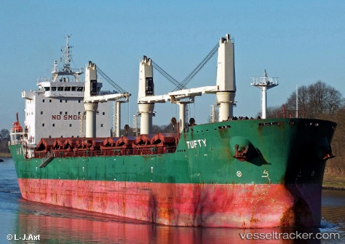
 Tufty
Tufty
Current Status
Where is the vessel?
Tufty is currently in 60 nm SE of Chapineria, based on AIS data received about 15h ago.
Latest AIS update:
Current position: 39.97667° N, 40.13333° W (60 nm SE of Chapineria)
Average speed (last 7 days): Loading…
Average speed (last 30 days): Loading…
Vessel profile: Tufty is a Bulk Carrier with dimensions 185m x 25m.
This page combines live AIS, route history, probable destination signals, nearby traffic, and port activity for practical vessel monitoring.
The current position of vessel Tufty is 39.97667 lat / -40.13333 lng. Updated: 2026-05-21 05:52:40 UTCNearest reference points:
- 97 nm SE of Chapineria
Currently sailing under the flag of Cyprus ![]()
Tufty built in 2009 year
Deadweight:
30802 tDetails:
Live Vessel Tufty Analytics (details, animations, etc.)
Recent AIS points (UTC):
2026-05-21 01:36:10 UTC · 40.26922, -39.27663 · SOG 9.6 kn · COG 250°2026-05-21 04:13:36 UTC · 40.10167, -39.80500 · SOG 9 kn · COG -1°
2026-05-21 05:07:39 UTC · 40.03333, -39.97833 · SOG 9 kn · COG -1°
2026-05-21 05:52:40 UTC · 39.97667, -40.13333 · SOG 10 kn · COG -1°