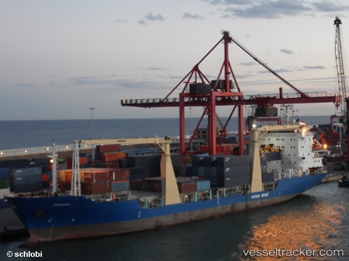
 Gouraya
Current Status
Where is the vessel?
Gouraya is currently in 13 nm N of Algiers, based on AIS data received about 14h ago.
Latest AIS update:
Current position: 36.98208° N, 3.14247° E (13 nm N of Algiers)
Average speed (last 7 days): Loading…
Average speed (last 30 days): Loading…
Vessel profile: Gouraya is a Multi Purpose Carrier with dimensions 126m x 126m.
This page combines live AIS, route history, probable destination signals, nearby traffic, and port activity for practical vessel monitoring.
The current position of vessel Gouraya is 36.98208 lat / 3.14247 lng. Updated: 2026-05-22 07:10:17 UTCNearest reference points:
- 16 nm NE of Berja
- Near Algiers
- 17 nm S of Albanchez
Currently sailing under the flag of Algeria ![]()
Gouraya built in 2010 year
Deadweight:
9822 tDetails:
Live Vessel Gouraya Analytics (details, animations, etc.)
Recent AIS points (UTC):
2026-05-22 04:07:40 UTC · 36.82446, 3.11968 · SOG 3.7 kn · COG 174°2026-05-22 04:23:18 UTC · 36.81051, 3.12032 · SOG 6 kn · COG 170°
2026-05-22 05:56:52 UTC · 36.79938, 3.12232 · SOG 0 kn · COG 98°
2026-05-22 07:10:17 UTC · 36.98208, 3.14247 · SOG 10.9 kn · COG 6°