 MSC RIDA
Current Status
Where is the vessel?
MSC RIDA is currently in 55 nm S of Loop Terminal, based on AIS data received about 15h ago.
Latest AIS update:
Current position: 27.97673° N, 89.64953° W (55 nm S of Loop Terminal)
Average speed (last 7 days): Loading…
Average speed (last 30 days): Loading…
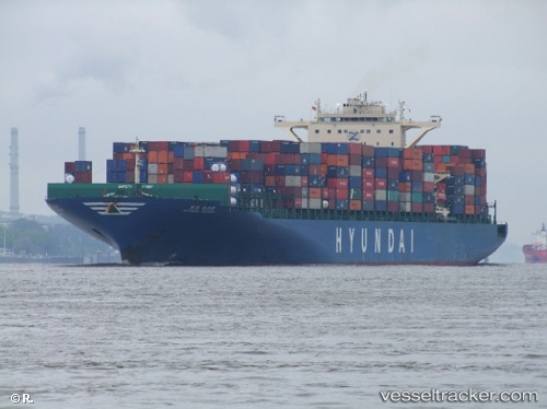
Vessel profile: MSC RIDA is a Container Ship with dimensions 46m x 340m.
This page combines live AIS, route history, probable destination signals, nearby traffic, and port activity for practical vessel monitoring.
The current position of vessel MSC RIDA is 27.97673 lat / -89.64953 lng. Updated: 2026-05-21 22:07:58 UTCNearest reference points:
- Near Port Fourchon
- Near Pilottown
- Near FOURCHON
Currently sailing under the flag of Portugal (MAR) ![]()
MSC RIDA built in 2009 year
Deadweight:
95810 tDetails:
Live Vessel MSC RIDA Analytics (details, animations, etc.)
Recent AIS points (UTC):
2026-05-21 19:33:04 UTC · 27.99680, -90.46475 · SOG 16.5 kn · COG 85°2026-05-21 20:04:39 UTC · 28.00710, -90.30287 · SOG 16.3 kn · COG 95°
2026-05-21 21:38:45 UTC · 27.97985, -89.81155 · SOG 17.6 kn · COG 93°
2026-05-21 22:07:58 UTC · 27.97673, -89.64953 · SOG 17.4 kn · COG 93°