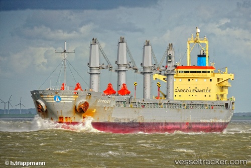
 LUCKY FINDER
Current Status
Where is the vessel?
LUCKY FINDER is currently in Near Boca del Río, based on AIS data received about 14h ago.
Latest AIS update:
Current position: 19.15053° N, 96.06238° W (Near Boca del Río)
Average speed (last 7 days): Loading…
Average speed (last 30 days): Loading…
Vessel profile: LUCKY FINDER is a Bulk Carrier with dimensions m x m.
This page combines live AIS, route history, probable destination signals, nearby traffic, and port activity for practical vessel monitoring.
The current position of vessel LUCKY FINDER is 19.15053 lat / -96.06238 lng. Updated: 2026-06-13 08:25:47 UTCNearest reference points:
- Near Veracruz
- 25 nm E of Tuxpan
- Near Coatzacoalcos
Currently sailing under the flag of Marshall Islands ![]()
Details:
Live Vessel LUCKY FINDER Analytics (details, animations, etc.)
Recent AIS points (UTC):
2026-06-13 04:19:47 UTC · 19.15023, -96.06250 · SOG 0.1 kn · COG 39°2026-06-13 06:04:47 UTC · 19.15041, -96.06270 · SOG 0 kn · COG 43°
2026-06-13 07:22:47 UTC · 19.15045, -96.06225 · SOG 0.2 kn · COG 8°
2026-06-13 08:25:47 UTC · 19.15053, -96.06238 · SOG 0 kn · COG 16°