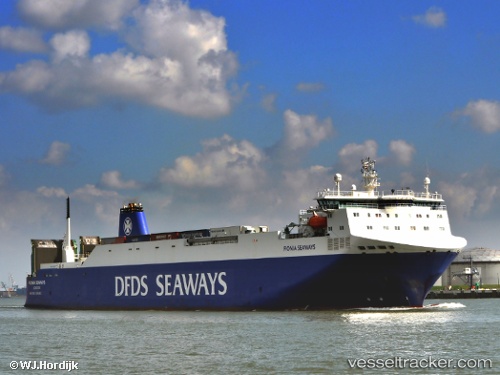
 JINANAH
Current Status
Where is the vessel?
JINANAH is currently in Near Fujairah, based on AIS data received about 15h ago.
Latest AIS update:
Current position: 25.15976° N, 56.49033° E (Near Fujairah)
Average speed (last 7 days): Loading…
Average speed (last 30 days): Loading…
Vessel profile: JINANAH is a Vehicles Carrier with dimensions m x m.
This page combines live AIS, route history, probable destination signals, nearby traffic, and port activity for practical vessel monitoring.
The current position of vessel JINANAH is 25.15976 lat / 56.49033 lng. Updated: 2026-06-23 10:30:46 UTCNearest reference points:
- Near Fujairah
- Near KHORFAKKAN
- Near Offshore Fujairah
Currently sailing under the flag of Marshall Islands ![]()
Details:
Live Vessel JINANAH Analytics (details, animations, etc.)
Recent AIS points (UTC):
2026-06-20 07:26:25 UTC · 23.48033, 59.09255 · SOG 19.7 kn · COG 316°2026-06-20 07:26:25 UTC · 23.48033, 59.09255 · SOG 19.7 kn · COG 316°
2026-06-20 07:26:25 UTC · 23.48033, 59.09255 · SOG 19.7 kn · COG 316°
2026-06-23 10:30:46 UTC · 25.15976, 56.49033 · SOG 0.6 kn · COG 110°