 vesseltracker.com
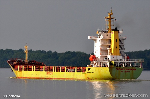
Annetta
Current StatusWhere is the vessel?
Annetta is currently in Near Punta Umbría, based on AIS data received less than 1h ago.
Latest AIS update:
Current position: 37.19074° N, 6.93458° W (Near Punta Umbría)
Average speed (last 7 days): Loading…
Average speed (last 30 days): Loading…
Vessel profile: Annetta is a Multi Purpose Carrier with dimensions 20m x 140m.
This page combines live AIS, route history, probable destination signals, nearby traffic, and port activity for practical vessel monitoring.
The current position of vessel Annetta is 37.19074 lat / -6.93458 lng. Updated: 2026-05-15 01:11:34 UTCNearest reference points:
- Near Punta Umbría
- Near La Antilla
- Near VILA REAL ST ANTONIO
Details:
Live Vessel Annetta Analytics (details, animations, etc.)
Recent AIS points (UTC):
2026-05-14 22:20:28 UTC · 37.19067, -6.93451 · SOG 0 kn · COG 329°2026-05-14 22:56:33 UTC · 37.19067, -6.93448 · SOG 0 kn · COG 329°
2026-05-14 23:44:34 UTC · 37.19068, -6.93448 · SOG 0.1 kn · COG 329°
2026-05-15 01:11:34 UTC · 37.19074, -6.93458 · SOG 0 kn · COG 329°