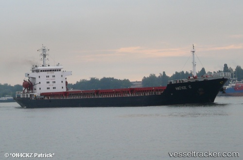
 LAGAVULIN
Current Status
Where is the vessel?
LAGAVULIN is currently in 19 nm N of TENES, based on AIS data received about 14h ago.
Latest AIS update:
Current position: 36.82845° N, 1.20915° E (19 nm N of TENES)
Average speed (last 7 days): Loading…
Average speed (last 30 days): Loading…
Vessel profile: LAGAVULIN is a Bulk Carrier with dimensions m x m.
This page combines live AIS, route history, probable destination signals, nearby traffic, and port activity for practical vessel monitoring.
The current position of vessel LAGAVULIN is 36.82845 lat / 1.20915 lng. Updated: 2026-05-19 19:32:00 UTCNearest reference points:
- 17 nm S of Albanchez
- 50 nm N of Mostaganem
- Near Mostaganem
Currently sailing under the flag of Liberia ![]()
Details:
Live Vessel LAGAVULIN Analytics (details, animations, etc.)
Recent AIS points (UTC):
2026-05-19 16:20:30 UTC · 36.70063, 0.56542 · SOG 10.4 kn · COG 83°2026-05-19 17:22:20 UTC · 36.71988, 0.78499 · SOG 10.4 kn · COG 81°
2026-05-19 19:31:20 UTC · 36.82800, 1.20669 · SOG 11 kn · COG 72°
2026-05-19 19:32:00 UTC · 36.82845, 1.20915 · SOG 11.1 kn · COG 75°