 SIA
SIA
Current Status
Where is the vessel?
SIA is currently in 305 nm E of Masirah, based on AIS data received about 119d ago.
Latest AIS update:
Current position: 19.74705° N, 64.19912° E (305 nm E of Masirah)
Average speed (last 7 days): Loading…
Average speed (last 30 days): Loading…
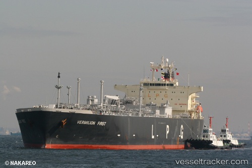
Vessel profile: SIA is a Lpg Tanker with dimensions m x m.
This page combines live AIS, route history, probable destination signals, nearby traffic, and port activity for practical vessel monitoring.
The current position of vessel SIA is 19.74705 lat / 64.19912 lng. Updated: 2026-01-21 10:20:53 UTCNearest reference points:
- 262 nm SE of SUR
- 231 nm SW of Keti Bandar
- 224 nm E of SUR
Currently sailing under the flag of Mozambique ![]()
Details:
Live Vessel SIA Analytics (details, animations, etc.)
Recent AIS points (UTC):
2026-01-21 10:20:53 UTC · 19.74705, 64.19912 · SOG 11.9 kn · COG 314°