 Al Mafyar
Current Status
Where is the vessel?
Al Mafyar is currently in 40 nm W of Moratuwa, based on AIS data received about 14h ago.
Latest AIS update:
Current position: 6.55271° N, 79.23380° E (40 nm W of Moratuwa)
Average speed (last 7 days): Loading…
Average speed (last 30 days): Loading…
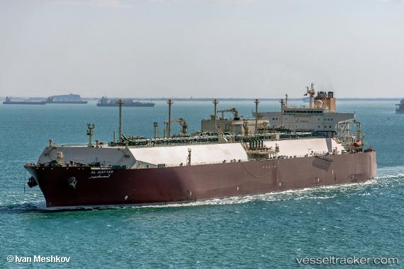
Vessel profile: Al Mafyar is a Lng Tanker with dimensions 345m x 52m.
This page combines live AIS, route history, probable destination signals, nearby traffic, and port activity for practical vessel monitoring.
The current position of vessel Al Mafyar is 6.55271 lat / 79.23380 lng. Updated: 2026-05-19 23:35:13 UTCNearest reference points:
- 67 nm SW of Moratuwa
- 82 nm W of Moratuwa
- 19 nm SW of Bataduwa
Currently sailing under the flag of Marshall Is ![]()
Al Mafyar built in 2009 year
Deadweight:
130441 tDetails:
Live Vessel Al Mafyar Analytics (details, animations, etc.)
Recent AIS points (UTC):
2026-05-19 19:51:10 UTC · 6.77833, 79.22500 · SOG 4 kn · COG -1°2026-05-19 21:40:02 UTC · 6.63997, 79.19672 · SOG 5.3 kn · COG 192°
2026-05-19 21:59:23 UTC · 6.61133, 79.19840 · SOG 5.3 kn · COG 192°
2026-05-19 23:35:13 UTC · 6.55271, 79.23380 · SOG 2.1 kn · COG 153°