 Al Sadd
Current Status
Where is the vessel?
Al Sadd is currently in 14 nm W of Galle, based on AIS data received about 14h ago.
Latest AIS update:
Current position: 5.94734° N, 79.99961° E (14 nm W of Galle)
Average speed (last 7 days): Loading…
Average speed (last 30 days): Loading…
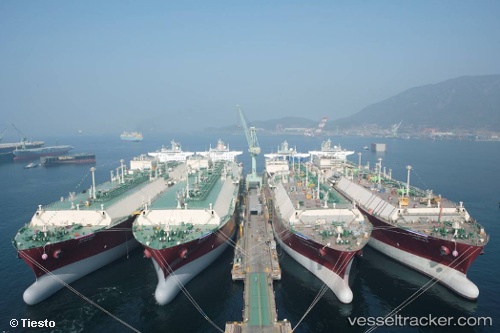
Vessel profile: Al Sadd is a Lng Tanker with dimensions 315m x 50m.
This page combines live AIS, route history, probable destination signals, nearby traffic, and port activity for practical vessel monitoring.
The current position of vessel Al Sadd is 5.94734 lat / 79.99961 lng. Updated: 2026-05-20 13:29:01 UTCNearest reference points:
- 19 nm SW of Bataduwa
- 15 nm S of Koggala
- 38 nm SW of Galle
Currently sailing under the flag of Marshall Is ![]()
Al Sadd built in 2009 year
Deadweight:
121913 tDetails:
Live Vessel Al Sadd Analytics (details, animations, etc.)
Recent AIS points (UTC):
2026-05-20 10:13:54 UTC · 5.94803, 79.99981 · SOG 0.3 kn · COG 274°2026-05-20 11:07:56 UTC · 5.94707, 79.99954 · SOG 0.2 kn · COG 296°
2026-05-20 11:37:57 UTC · 5.94679, 79.99943 · SOG 0.2 kn · COG 307°
2026-05-20 13:29:01 UTC · 5.94734, 79.99961 · SOG 0 kn · COG 297°