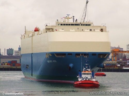
 AMETHYST ACE
Current Status
Where is the vessel?
AMETHYST ACE is currently in 83 nm N of Darnah, based on AIS data received about 16h ago.
Latest AIS update:
Current position: 34.11794° N, 22.26143° E (83 nm N of Darnah)
Average speed (last 7 days): Loading…
Average speed (last 30 days): Loading…
Vessel profile: AMETHYST ACE is a Vehicles Carrier with dimensions m x m.
This page combines live AIS, route history, probable destination signals, nearby traffic, and port activity for practical vessel monitoring.
The current position of vessel AMETHYST ACE is 34.11794 lat / 22.26143 lng. Updated: 2026-05-22 23:55:17 UTCNearest reference points:
- 85 nm W of Paleochora
- 59 nm W of Paleochora
- 61 nm N of Al Marj
Currently sailing under the flag of Japan ![]()
Details:
Live Vessel AMETHYST ACE Analytics (details, animations, etc.)
Recent AIS points (UTC):
2026-05-22 19:58:53 UTC · 33.75367, 23.48008 · SOG 15.9 kn · COG 295°2026-05-22 21:34:59 UTC · 33.91540, 23.01066 · SOG 16.4 kn · COG 293°
2026-05-22 22:05:53 UTC · 33.96669, 22.85091 · SOG 16.6 kn · COG 289°
2026-05-22 23:55:17 UTC · 34.11794, 22.26143 · SOG 16.8 kn · COG 287°