 vesseltracker.com
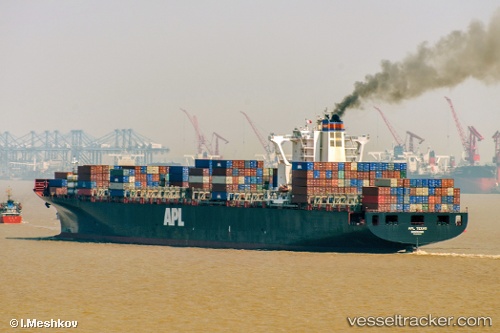
 MSC NOA
Current Status
Where is the vessel?
MSC NOA is currently in Near Mundra, based on AIS data received about 1h ago.
Latest AIS update:
Current position: 22.73818° N, 69.69805° E (Near Mundra)
Average speed (last 7 days): Loading…
Average speed (last 30 days): Loading…
Vessel profile: MSC NOA is a Container Ship with dimensions 304m x 40m.
This page combines live AIS, route history, probable destination signals, nearby traffic, and port activity for practical vessel monitoring.
The current position of vessel MSC NOA is 22.73818 lat / 69.69805 lng. Updated: 2026-05-14 15:20:54 UTCNearest reference points:
- Near Mundra
- Near SIKKA
- Near Sika
Currently sailing under the flag of Liberia ![]()
MSC NOA built in 2009 year
Deadweight:
85713 tDetails:
Live Vessel MSC NOA Analytics (details, animations, etc.)
Recent AIS points (UTC):
2026-05-14 12:26:53 UTC · 22.73820, 69.69797 · SOG 0 kn · COG 271°2026-05-14 13:14:56 UTC · 22.73820, 69.69808 · SOG 0 kn · COG 271°
2026-05-14 13:47:55 UTC · 22.73815, 69.69796 · SOG 0 kn · COG 271°
2026-05-14 15:20:54 UTC · 22.73818, 69.69805 · SOG 0 kn · COG 271°