 ATTILA
Current Status
Where is the vessel?
ATTILA is currently in Near Limassol, based on AIS data received about 14h ago.
Latest AIS update:
Current position: 34.66849° N, 33.06375° E (Near Limassol)
Average speed (last 7 days): Loading…
Average speed (last 30 days): Loading…
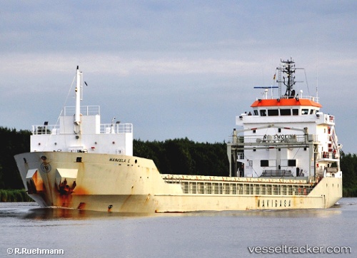
Vessel profile: ATTILA is a General Cargo with dimensions m x m.
This page combines live AIS, route history, probable destination signals, nearby traffic, and port activity for practical vessel monitoring.
The current position of vessel ATTILA is 34.66849 lat / 33.06375 lng. Updated: 2026-05-25 21:22:06 UTCNearest reference points:
- Near Limassol
- 17 nm S of Vasilikos
- 11 nm SE of Paphos
Currently sailing under the flag of Gibraltar ![]()
Details:
Live Vessel ATTILA Analytics (details, animations, etc.)
Recent AIS points (UTC):
2026-05-25 17:43:08 UTC · 34.66893, 33.06551 · SOG 0 kn · COG 286°2026-05-25 19:55:07 UTC · 34.66835, 33.06423 · SOG 0.1 kn · COG 12°
2026-05-25 19:55:07 UTC · 34.66835, 33.06423 · SOG 0.1 kn · COG 12°
2026-05-25 21:22:06 UTC · 34.66849, 33.06375 · SOG 0 kn · COG 40°