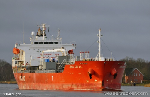
 JBU OPAL
Current Status
Where is the vessel?
JBU OPAL is currently in 13 nm NW of Chanaral, based on AIS data received about 15h ago.
Latest AIS update:
Current position: 26.22635° S, 70.86527° W (13 nm NW of Chanaral)
Average speed (last 7 days): Loading…
Average speed (last 30 days): Loading…
Vessel profile: JBU OPAL is a Oil/Chemical Tanker with dimensions m x m.
This page combines live AIS, route history, probable destination signals, nearby traffic, and port activity for practical vessel monitoring.
The current position of vessel JBU OPAL is -26.22635 lat / -70.86527 lng. Updated: 2026-07-16 13:52:59 UTCCurrently sailing under the flag of South Korea ![]()
Details:
Live Vessel JBU OPAL Analytics (details, animations, etc.)
Recent AIS points (UTC):
2026-07-16 10:31:29 UTC · -26.13738, -70.87782 · SOG 1.3 kn · COG 267°2026-07-16 11:58:10 UTC · -26.17513, -70.87373 · SOG 1.6 kn · COG 246°
2026-07-16 13:03:02 UTC · -26.20377, -70.86848 · SOG 1.6 kn · COG 247°
2026-07-16 13:52:59 UTC · -26.22635, -70.86527 · SOG 1.5 kn · COG 244°