 THOE
THOE
Current Status
Where is the vessel?
THOE is currently in Near Erdek, based on AIS data received about 14h ago.
Latest AIS update:
Current position: 40.35311° N, 27.95897° E (Near Erdek)
Average speed (last 7 days): Loading…
Average speed (last 30 days): Loading…
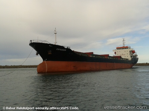
Vessel profile: THOE is a Bulk Carrier with dimensions 38m x 8m.
This page combines live AIS, route history, probable destination signals, nearby traffic, and port activity for practical vessel monitoring.
The current position of vessel THOE is 40.35311 lat / 27.95897 lng. Updated: 2026-05-20 19:33:04 UTCNearest reference points:
- 11 nm E of Erdek
- Near Erdek
- Near Marmara Adasi
Currently sailing under the flag of Marshall Islands ![]()
THOE built in 2006 year
Deadweight:
12500 tDetails:
Live Vessel THOE Analytics (details, animations, etc.)
Recent AIS points (UTC):
2026-05-20 15:42:01 UTC · 40.35309, 27.95901 · SOG 0 kn · COG 35°2026-05-20 16:09:57 UTC · 40.35167, 27.95833 · SOG 0 kn · COG -1°
2026-05-20 18:00:00 UTC · 40.35314, 27.95897 · SOG 0 kn · COG 36°
2026-05-20 19:33:04 UTC · 40.35311, 27.95897 · SOG 0 kn · COG 36°