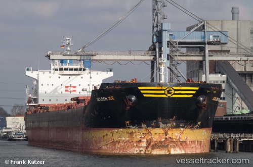
 ICE II
Current Status
Where is the vessel?
ICE II is currently in 166 nm NW of Freienbrink, based on AIS data received about 15h ago.
Latest AIS update:
Current position: 55.12500° N, 136.05167° E (166 nm NW of Freienbrink)
Average speed (last 7 days): Loading…
Average speed (last 30 days): Loading…
Vessel profile: ICE II is a Bulk Carrier with dimensions m x m.
This page combines live AIS, route history, probable destination signals, nearby traffic, and port activity for practical vessel monitoring.
The current position of vessel ICE II is 55.12500 lat / 136.05167 lng. Updated: 2026-06-12 14:13:03 UTCCurrently sailing under the flag of Panama ![]()
Details:
Live Vessel ICE II Analytics (details, animations, etc.)
Recent AIS points (UTC):
2026-06-12 11:08:04 UTC · 55.19318, 136.17426 · SOG 1.6 kn · COG 137°2026-06-12 11:48:30 UTC · 55.17761, 136.15111 · SOG 1.9 kn · COG 145°
2026-06-12 13:15:58 UTC · 55.14477, 136.08893 · SOG 1.8 kn · COG 103°
2026-06-12 14:13:03 UTC · 55.12500, 136.05167 · SOG 1 kn · COG -1°