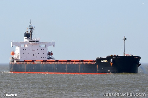
St. Dimitrios
Current StatusWhere is the vessel?
St. Dimitrios is currently in Near Xinsha, based on AIS data received about 14h ago.
Latest AIS update:
Current position: 23.00687° N, 113.53151° E (Near Xinsha)
Average speed (last 7 days): Loading…
Average speed (last 30 days): Loading…
Vessel profile: St. Dimitrios is a Bulk Carrier with dimensions 32m x 229m.
This page combines live AIS, route history, probable destination signals, nearby traffic, and port activity for practical vessel monitoring.
The current position of vessel St. Dimitrios is 23.00687 lat / 113.53151 lng. Updated: 2026-05-24 16:50:57 UTCNearest reference points:
- Near Shilou
- Near MCID - Private Terminal
- Near Xinsha
Details:
Live Vessel St. Dimitrios Analytics (details, animations, etc.)
Recent AIS points (UTC):
2026-05-24 13:00:01 UTC · 23.00686, 113.53146 · SOG 0 kn · COG 337°2026-05-24 14:02:59 UTC · 23.00687, 113.53144 · SOG 0 kn · COG 337°
2026-05-24 15:29:25 UTC · 23.00689, 113.53148 · SOG 0 kn · COG 337°
2026-05-24 16:50:57 UTC · 23.00687, 113.53151 · SOG 0 kn · COG 337°