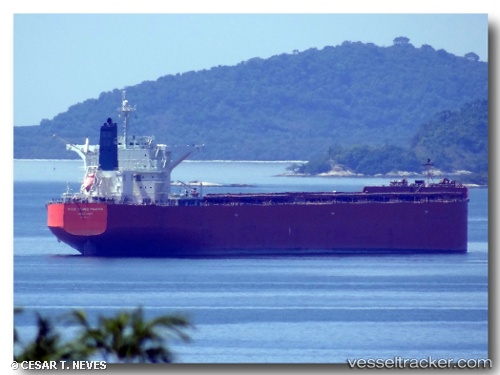
Mount Troodos
Current StatusWhere is the vessel?
Mount Troodos is currently in 217 nm S of Tsiombe, based on AIS data received about 14h ago.
Latest AIS update:
Current position: 28.64518° S, 43.94433° E (217 nm S of Tsiombe)
Average speed (last 7 days): Loading…
Average speed (last 30 days): Loading…
Vessel profile: Mount Troodos is a Bulk Carrier with dimensions 45m x 292m.
This page combines live AIS, route history, probable destination signals, nearby traffic, and port activity for practical vessel monitoring.
The current position of vessel Mount Troodos is -28.64518 lat / 43.94433 lng. Updated: 2026-05-20 17:22:16 UTCNearest reference points:
- 148 nm SW of Tsiombe
- 106 nm S of Tsiombe
- 70 nm SW of Tsiombe
Details:
Live Vessel Mount Troodos Analytics (details, animations, etc.)
Recent AIS points (UTC):
2026-05-20 14:12:49 UTC · -28.93987, 43.34932 · SOG 11.6 kn · COG 70°2026-05-20 15:23:05 UTC · -28.84250, 43.57590 · SOG 11.4 kn · COG 59°
2026-05-20 16:59:34 UTC · -28.68568, 43.87680 · SOG 11.2 kn · COG 60°
2026-05-20 17:22:16 UTC · -28.64518, 43.94433 · SOG 11.5 kn · COG 61°