 FOSEP
FOSEP
Current Status
Where is the vessel?
FOSEP is currently in 37 nm SW of Kukdo, based on AIS data received about 15h ago.
Latest AIS update:
Current position: 33.99568° N, 128.07581° E (37 nm SW of Kukdo)
Average speed (last 7 days): Loading…
Average speed (last 30 days): Loading…
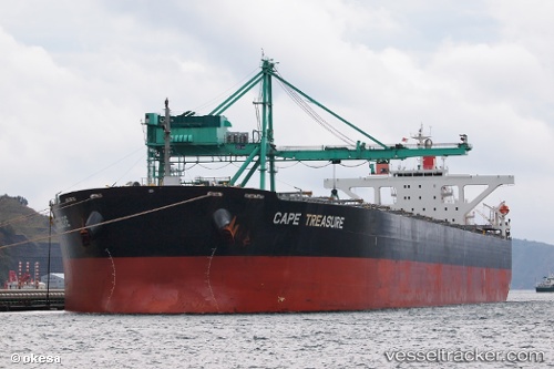
Vessel profile: FOSEP is a Bulk Carrier with dimensions 45m x 288m.
This page combines live AIS, route history, probable destination signals, nearby traffic, and port activity for practical vessel monitoring.
The current position of vessel FOSEP is 33.99568 lat / 128.07581 lng. Updated: 2026-06-13 13:25:23 UTCNearest reference points:
- 35 nm E of Geomundo
- 25 nm S of Kukdo
- 12 nm E of Geomundo
Currently sailing under the flag of Marshall Islands ![]()
FOSEP built in 2007 year
Deadweight:
180201 tDetails:
Live Vessel FOSEP Analytics (details, animations, etc.)
Recent AIS points (UTC):
2026-06-13 10:34:24 UTC · 33.99683, 128.07347 · SOG 0.1 kn · COG 185°2026-06-13 11:58:22 UTC · 33.99600, 128.07553 · SOG 0 kn · COG 233°
2026-06-13 13:22:20 UTC · 33.99568, 128.07574 · SOG 0 kn · COG 242°
2026-06-13 13:25:23 UTC · 33.99568, 128.07581 · SOG 0 kn · COG 242°