 vesseltracker.com
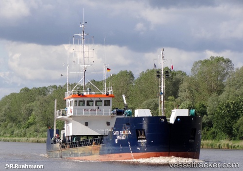
Sato Galicia
Current StatusWhere is the vessel?
Sato Galicia is currently in Near TANGER MED, based on AIS data received about 14h ago.
Latest AIS update:
Current position: 35.88685° N, 5.50822° W (Near TANGER MED)
Average speed (last 7 days): Loading…
Average speed (last 30 days): Loading…
Vessel profile: Sato Galicia is a Service Ship with dimensions 12m x 65m.
This page combines live AIS, route history, probable destination signals, nearby traffic, and port activity for practical vessel monitoring.
The current position of vessel Sato Galicia is 35.88685 lat / -5.50822 lng. Updated: 2026-05-18 01:34:45 UTCNearest reference points:
- Near TARIFA
- Near TANGER MED
- Near Algeciras
Details:
Live Vessel Sato Galicia Analytics (details, animations, etc.)
Recent AIS points (UTC):
2026-05-17 22:19:14 UTC · 35.88940, -5.51600 · SOG 3.9 kn · COG 288°2026-05-17 23:30:55 UTC · 35.88682, -5.50822 · SOG 0 kn · COG 25°
2026-05-18 01:30:43 UTC · 35.88683, -5.50824 · SOG 0 kn · COG 28°
2026-05-18 01:34:45 UTC · 35.88685, -5.50822 · SOG 0 kn · COG 27°