 TANJONG PAGAR 1
Current Status
Where is the vessel?
TANJONG PAGAR 1 is currently in 21 nm N of Kaukab Abu El-Hija, based on AIS data received about 14h ago.
Latest AIS update:
Current position: 33.15667° N, 14.87333° E (21 nm N of Kaukab Abu El-Hija)
Average speed (last 7 days): Loading…
Average speed (last 30 days): Loading…
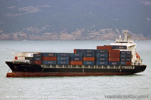
Vessel profile: TANJONG PAGAR 1 is a Cargo with dimensions m x m.
This page combines live AIS, route history, probable destination signals, nearby traffic, and port activity for practical vessel monitoring.
The current position of vessel TANJONG PAGAR 1 is 33.15667 lat / 14.87333 lng. Updated: 2026-05-21 01:39:30 UTCNearest reference points:
- Near MISURATA
- 22 nm NW of Tarabulus
- 37 nm E of Didon
Currently sailing under the flag of Panama ![]()
Details:
Live Vessel TANJONG PAGAR 1 Analytics (details, animations, etc.)
Recent AIS points (UTC):
2026-05-20 21:51:30 UTC · 33.91333, 14.36667 · SOG 13 kn · COG -1°2026-05-20 21:51:30 UTC · 33.91333, 14.36667 · SOG 13 kn · COG -1°
2026-05-21 00:24:29 UTC · 33.40667, 14.70667 · SOG 13 kn · COG -1°
2026-05-21 01:39:30 UTC · 33.15667, 14.87333 · SOG 13 kn · COG -1°