 MASAGANA
Current Status
Where is the vessel?
MASAGANA is currently in 10 nm W of Madura Terminal, based on AIS data received about 14h ago.
Latest AIS update:
Current position: 6.82314° S, 112.78081° E (10 nm W of Madura Terminal)
Average speed (last 7 days): Loading…
Average speed (last 30 days): Loading…
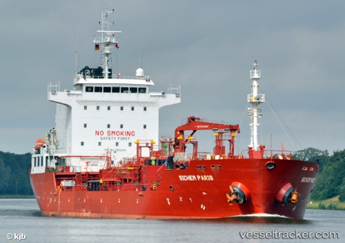
Vessel profile: MASAGANA is a Chemical/Oil Products Tanker with dimensions 20m x 128m.
This page combines live AIS, route history, probable destination signals, nearby traffic, and port activity for practical vessel monitoring.
The current position of vessel MASAGANA is -6.82314 lat / 112.78081 lng. Updated: 2026-07-15 14:07:37 UTCNearest reference points:
- 11 nm W of Madura Terminal
- Near Bangkalan
- 10 nm W of Poleng
Currently sailing under the flag of Tuvalu ![]()
MASAGANA built in 2008 year
Deadweight:
13079 tDetails:
Live Vessel MASAGANA Analytics (details, animations, etc.)
Recent AIS points (UTC):
2026-07-15 10:37:15 UTC · -6.82355, 112.78087 · SOG 0.5 kn · COG 65°2026-07-15 12:25:15 UTC · -6.82334, 112.78086 · SOG 0 kn · COG 87°
2026-07-15 13:31:15 UTC · -6.82310, 112.78082 · SOG 0.3 kn · COG 95°
2026-07-15 14:07:37 UTC · -6.82314, 112.78081 · SOG 0.2 kn · COG -1°