 vesseltracker.com
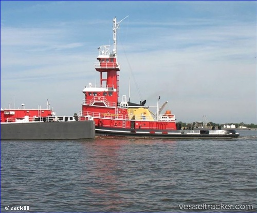
Linda Lee Bouchard
Current StatusWhere is the vessel?
Linda Lee Bouchard is currently in 23 nm W of Seaview, based on AIS data received about 14h ago.
Latest AIS update:
Current position: 46.42480° N, 124.58215° W (23 nm W of Seaview)
Average speed (last 7 days): Loading…
Average speed (last 30 days): Loading…
Vessel profile: Linda Lee Bouchard is a Pusher Tug with dimensions 24m x 162m.
This page combines live AIS, route history, probable destination signals, nearby traffic, and port activity for practical vessel monitoring.
The current position of vessel Linda Lee Bouchard is 46.42480 lat / -124.58215 lng. Updated: 2026-05-18 11:42:12 UTCNearest reference points:
- Near WARRENTON
- Near Astoria
- Near Grays River
Details:
Live Vessel Linda Lee Bouchard Analytics (details, animations, etc.)
Recent AIS points (UTC):
2026-05-18 07:48:34 UTC · 46.76962, -124.75956 · SOG 7 kn · COG 169°2026-05-18 10:01:20 UTC · 46.54028, -124.67795 · SOG 4.8 kn · COG 165°
2026-05-18 10:37:10 UTC · 46.49807, -124.64457 · SOG 4.9 kn · COG 141°
2026-05-18 11:42:12 UTC · 46.42480, -124.58215 · SOG 4.6 kn · COG 151°