 Jawad
Jawad
Current Status
Where is the vessel?
Jawad is currently in 10 nm S of Chittagong, based on AIS data received about 15h ago.
Latest AIS update:
Current position: 22.14502° N, 91.78060° E (10 nm S of Chittagong)
Average speed (last 7 days): Loading…
Average speed (last 30 days): Loading…
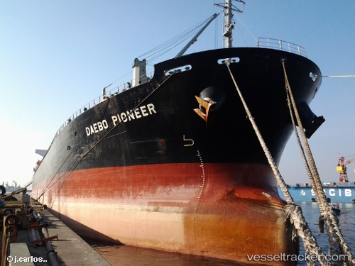
Vessel profile: Jawad is a Bulk Carrier with dimensions 190m x 189m.
This page combines live AIS, route history, probable destination signals, nearby traffic, and port activity for practical vessel monitoring.
The current position of vessel Jawad is 22.14502 lat / 91.78060 lng. Updated: 2026-05-20 23:44:41 UTCNearest reference points:
- Near Chittagong
- 12 nm NW of Chattogram
- 23 nm NW of Cox's Bazar
Currently sailing under the flag of Bangladesh ![]()
Jawad built in 2007 year
Deadweight:
53505 tDetails:
Live Vessel Jawad Analytics (details, animations, etc.)
Recent AIS points (UTC):
2026-05-20 19:26:41 UTC · 22.14863, 91.77972 · SOG 0.2 kn · COG 175°2026-05-20 22:14:40 UTC · 22.14853, 91.77945 · SOG 0 kn · COG 166°
2026-05-20 22:35:41 UTC · 22.14850, 91.77935 · SOG 0.1 kn · COG 156°
2026-05-20 23:44:41 UTC · 22.14502, 91.78060 · SOG 0 kn · COG 352°