 SYMI
SYMI
Current Status
Where is the vessel?
SYMI is currently in Open sea, approx. 438 nm off the nearest listed port, based on AIS data received about 14h ago.
Latest AIS update:
Current position: 6.66158° N, 61.69798° E (Open sea, approx. 438 nm off the nearest listed port)
Average speed (last 7 days): Loading…
Average speed (last 30 days): Loading…
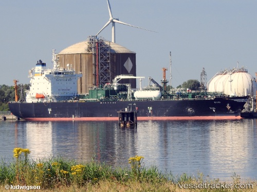
Vessel profile: SYMI is a Lpg Tanker with dimensions m x m.
This page combines live AIS, route history, probable destination signals, nearby traffic, and port activity for practical vessel monitoring.
The current position of vessel SYMI is 6.66158 lat / 61.69798 lng. Updated: 2026-05-25 16:58:23 UTCNearest reference points:
- Open sea, approx. 438 nm off the nearest listed port
- Open sea, approx. 440 nm off the nearest listed port
- Open sea, approx. 441 nm off the nearest listed port
Currently sailing under the flag of Marshall Islands ![]()
Details:
Live Vessel SYMI Analytics (details, animations, etc.)
Recent AIS points (UTC):
2026-05-25 13:24:24 UTC · 7.35067, 61.83503 · SOG 11.5 kn · COG 190°2026-05-25 13:57:07 UTC · 7.24380, 61.81585 · SOG 12.3 kn · COG 191°
2026-05-25 15:21:18 UTC · 6.96873, 61.76504 · SOG 11.5 kn · COG 195°
2026-05-25 16:58:23 UTC · 6.66158, 61.69798 · SOG 11.7 kn · COG 195°