 GFS ROJA
Current Status
Where is the vessel?
GFS ROJA is currently in 74 nm S of Balhaf, based on AIS data received about 14h ago.
Latest AIS update:
Current position: 12.76706° N, 47.90813° E (74 nm S of Balhaf)
Average speed (last 7 days): Loading…
Average speed (last 30 days): Loading…
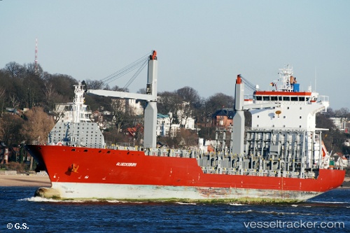
Vessel profile: GFS ROJA is a Container Ship with dimensions m x m.
This page combines live AIS, route history, probable destination signals, nearby traffic, and port activity for practical vessel monitoring.
The current position of vessel GFS ROJA is 12.76706 lat / 47.90813 lng. Updated: 2026-05-21 03:55:26 UTCCurrently sailing under the flag of Singapore ![]()
Details:
Live Vessel GFS ROJA Analytics (details, animations, etc.)
Recent AIS points (UTC):
2026-05-21 01:13:08 UTC · 12.60333, 47.39167 · SOG 11 kn · COG -1°2026-05-21 01:43:12 UTC · 12.63167, 47.48833 · SOG 11 kn · COG -1°
2026-05-21 03:54:34 UTC · 12.76625, 47.90550 · SOG 11.4 kn · COG 66°
2026-05-21 03:55:26 UTC · 12.76706, 47.90813 · SOG 11.4 kn · COG 65°