 vesseltracker.com
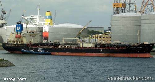
 LILA VANCOUVER
Current Status
Where is the vessel?
LILA VANCOUVER is currently in 11 nm NE of ASTYPALEA, based on AIS data received about 14h ago.
Latest AIS update:
Current position: 36.73790° N, 26.43313° E (11 nm NE of ASTYPALEA)
Average speed (last 7 days): Loading…
Average speed (last 30 days): Loading…
Vessel profile: LILA VANCOUVER is a Oil/Chemical Tanker with dimensions m x m.
This page combines live AIS, route history, probable destination signals, nearby traffic, and port activity for practical vessel monitoring.
The current position of vessel LILA VANCOUVER is 36.73790 lat / 26.43313 lng. Updated: 2026-05-18 07:16:39 UTCNearest reference points:
- 18 nm SW of PATMOS
- Near Aigiali Amorgou
- 20 nm S of Astypálaia
Currently sailing under the flag of Liberia ![]()
Details:
Live Vessel LILA VANCOUVER Analytics (details, animations, etc.)
Recent AIS points (UTC):
2026-05-18 03:54:30 UTC · 37.35503, 25.95068 · SOG 12.9 kn · COG 151°2026-05-18 04:11:49 UTC · 37.29905, 25.98872 · SOG 13.4 kn · COG 153°
2026-05-18 05:55:49 UTC · 36.96905, 26.20015 · SOG 12.7 kn · COG 152°
2026-05-18 07:16:39 UTC · 36.73790, 26.43313 · SOG 13.1 kn · COG 144°