 SAPPHIRE A
Current Status
Where is the vessel?
SAPPHIRE A is currently in Near Colon, based on AIS data received about 14h ago.
Latest AIS update:
Current position: 9.44048° N, 79.95647° W (Near Colon)
Average speed (last 7 days): Loading…
Average speed (last 30 days): Loading…
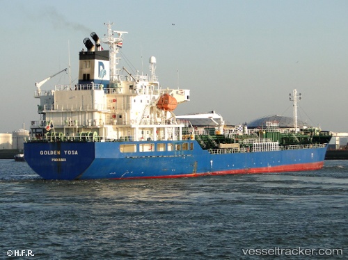
Vessel profile: SAPPHIRE A is a Oil/Chemical Tanker with dimensions m x m.
This page combines live AIS, route history, probable destination signals, nearby traffic, and port activity for practical vessel monitoring.
The current position of vessel SAPPHIRE A is 9.44048 lat / -79.95647 lng. Updated: 2026-05-23 01:29:13 UTCNearest reference points:
- Near Colon
- Near COLON 2000
- Near Colón Free Zone
Currently sailing under the flag of Liberia ![]()
Details:
Live Vessel SAPPHIRE A Analytics (details, animations, etc.)
Recent AIS points (UTC):
2026-05-22 21:39:20 UTC · 9.44028, -79.95686 · SOG 0 kn · COG 279°2026-05-22 23:02:13 UTC · 9.44037, -79.95684 · SOG 0.1 kn · COG 272°
2026-05-23 00:23:12 UTC · 9.44073, -79.95687 · SOG 0.1 kn · COG 245°
2026-05-23 01:29:13 UTC · 9.44048, -79.95647 · SOG 0.1 kn · COG 254°