 Chem Mia
Current Status
Where is the vessel?
Chem Mia is currently in 43 nm N of VARADERO, based on AIS data received about 14h ago.
Latest AIS update:
Current position: 23.85282° N, 81.09815° W (43 nm N of VARADERO)
Average speed (last 7 days): Loading…
Average speed (last 30 days): Loading…
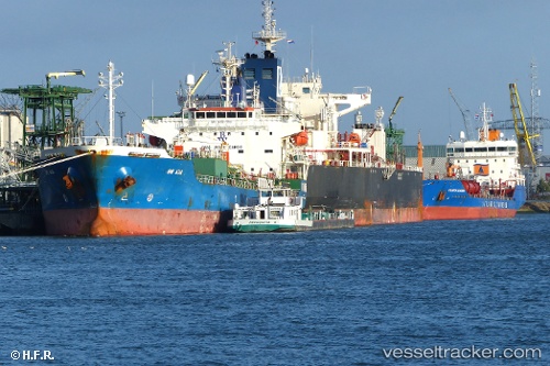
Vessel profile: Chem Mia is a Chemical Oil Products Tanker with dimensions 144m x 24m.
This page combines live AIS, route history, probable destination signals, nearby traffic, and port activity for practical vessel monitoring.
The current position of vessel Chem Mia is 23.85282 lat / -81.09815 lng. Updated: 2026-05-20 02:20:24 UTCNearest reference points:
- 28 nm NE of VARADERO
- Near Summerland Key
- Near Key West
Currently sailing under the flag of Liberia ![]()
Chem Mia built in 2008 year
Deadweight:
19702 tDetails:
Live Vessel Chem Mia Analytics (details, animations, etc.)
Recent AIS points (UTC):
2026-05-19 23:02:07 UTC · 24.16925, -80.56052 · SOG 10.1 kn · COG -1°2026-05-20 00:10:34 UTC · 24.06742, -80.74587 · SOG 10.4 kn · COG 240°
2026-05-20 01:25:33 UTC · 23.95203, -80.95203 · SOG 10.7 kn · COG 239°
2026-05-20 02:20:24 UTC · 23.85282, -81.09815 · SOG 11.1 kn · COG 235°