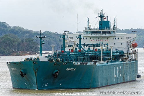
 FRITZI N
Current Status
Where is the vessel?
FRITZI N is currently in 224 nm W of Juazeiro-Pi, based on AIS data received about 14h ago.
Latest AIS update:
Current position: 4.81219° N, 45.40700° W (224 nm W of Juazeiro-Pi)
Average speed (last 7 days): Loading…
Average speed (last 30 days): Loading…
Vessel profile: FRITZI N is a Lpg Tanker with dimensions m x m.
This page combines live AIS, route history, probable destination signals, nearby traffic, and port activity for practical vessel monitoring.
The current position of vessel FRITZI N is 4.81219 lat / -45.40700 lng. Updated: 2026-05-19 22:57:15 UTCNearest reference points:
- 227 nm W of Juazeiro-Pi
Currently sailing under the flag of Marshall Islands ![]()
Details:
Live Vessel FRITZI N Analytics (details, animations, etc.)
Recent AIS points (UTC):
2026-05-19 19:09:23 UTC · 5.28876, -46.11392 · SOG 13.4 kn · COG 123°2026-05-19 19:46:54 UTC · 5.20995, -45.99942 · SOG 13.2 kn · COG 122°
2026-05-19 21:31:34 UTC · 4.99279, -45.67285 · SOG 13.6 kn · COG 124°
2026-05-19 22:57:15 UTC · 4.81219, -45.40700 · SOG 13.1 kn · COG 123°