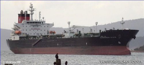
 Evergreen State
Current Status
Where is the vessel?
Evergreen State is currently in 66 nm S of Kiawah Island, based on AIS data received about 14h ago.
Latest AIS update:
Current position: 31.57075° N, 79.59261° W (66 nm S of Kiawah Island)
Average speed (last 7 days): Loading…
Average speed (last 30 days): Loading…
Vessel profile: Evergreen State is a Chemical Oil Products Tanker with dimensions 183m x 32m.
This page combines live AIS, route history, probable destination signals, nearby traffic, and port activity for practical vessel monitoring.
The current position of vessel Evergreen State is 31.57075 lat / -79.59261 lng. Updated: 2026-07-03 04:44:31 UTCNearest reference points:
- 33 nm S of Kiawah Island
- Near Charleston
- Near Saint Andrews
Currently sailing under the flag of USA ![]()
Evergreen State built in 2010 year
Deadweight:
48641 tDetails:
Live Vessel Evergreen State Analytics (details, animations, etc.)
Recent AIS points (UTC):
2026-07-03 01:25:16 UTC · 30.73955, -79.59291 · SOG 15.3 kn · COG 355°2026-07-03 01:51:58 UTC · 30.85485, -79.59178 · SOG 15.6 kn · COG 354°
2026-07-03 03:39:46 UTC · 31.33255, -79.59112 · SOG 15.5 kn · COG 353°
2026-07-03 04:44:31 UTC · 31.57075, -79.59261 · SOG 12.3 kn · COG 351°