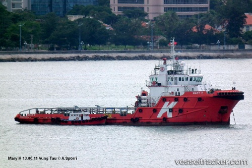
Allianz Ranger
Current StatusWhere is the vessel?
Allianz Ranger is currently in Near Abu Dhabi, based on AIS data received about 9d ago.
Latest AIS update:
Current position: 24.37889° N, 54.35623° E (Near Abu Dhabi)
Average speed (last 7 days): Loading…
Average speed (last 30 days): Loading…
Vessel profile: Allianz Ranger is a Offshore Tug Supply Ship with dimensions 15m x 59m.
This page combines live AIS, route history, probable destination signals, nearby traffic, and port activity for practical vessel monitoring.
The current position of vessel Allianz Ranger is 24.37889 lat / 54.35623 lng. Updated: 2026-05-13 10:30:54 UTCNearest reference points:
- Near Esnnad
- Near KHALIFA
- 16 nm NW of Jebel Ali
Details:
Live Vessel Allianz Ranger Analytics (details, animations, etc.)
Recent AIS points (UTC):
2026-05-13 10:30:54 UTC · 24.37889, 54.35623 · SOG 5.9 kn · COG -1°2026-05-13 10:30:54 UTC · 24.37889, 54.35623 · SOG 5.9 kn · COG -1°
2026-05-13 10:30:54 UTC · 24.37889, 54.35623 · SOG 5.9 kn · COG -1°
2026-05-13 10:30:54 UTC · 24.37889, 54.35623 · SOG 5.9 kn · COG -1°