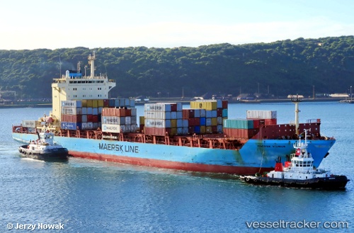
 MAERSK VILNIUS
Current Status
Where is the vessel?
MAERSK VILNIUS is currently in 97 nm NW of Pulau Bruit, based on AIS data received about 15h ago.
Latest AIS update:
Current position: 4.06980° N, 110.71351° E (97 nm NW of Pulau Bruit)
Average speed (last 7 days): Loading…
Average speed (last 30 days): Loading…
Vessel profile: MAERSK VILNIUS is a Container Ship with dimensions m x m.
This page combines live AIS, route history, probable destination signals, nearby traffic, and port activity for practical vessel monitoring.
The current position of vessel MAERSK VILNIUS is 4.06980 lat / 110.71351 lng. Updated: 2026-05-22 23:18:13 UTCNearest reference points:
- 42 nm W of BINTULU
- 34 nm SE of Ranai
- 28 nm SW of BINTULU
Currently sailing under the flag of India ![]()
Details:
Live Vessel MAERSK VILNIUS Analytics (details, animations, etc.)
Recent AIS points (UTC):
2026-05-22 12:51:07 UTC · 1.70242, 110.55366 · SOG 12.8 kn · COG 34°2026-05-22 12:51:07 UTC · 1.70242, 110.55366 · SOG 12.8 kn · COG 34°
2026-05-22 12:51:07 UTC · 1.70242, 110.55366 · SOG 12.8 kn · COG 34°
2026-05-22 23:18:13 UTC · 4.06980, 110.71351 · SOG 13 kn · COG 1°