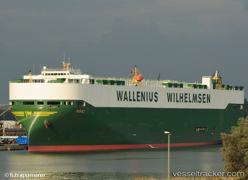
 PORGY
PORGY
Current Status
Where is the vessel?
PORGY is currently in Near Jekyll Island, based on AIS data received about 14h ago.
Latest AIS update:
Current position: 31.04713° N, 81.24349° W (Near Jekyll Island)
Average speed (last 7 days): Loading…
Average speed (last 30 days): Loading…
Vessel profile: PORGY is a Vehicles Carrier with dimensions m x m.
This page combines live AIS, route history, probable destination signals, nearby traffic, and port activity for practical vessel monitoring.
The current position of vessel PORGY is 31.04713 lat / -81.24349 lng. Updated: 2026-07-15 07:52:02 UTCNearest reference points:
- Near Brunswick
- Near Fernandina
- Near Jacksonville
Currently sailing under the flag of Norway ![]()
Details:
Live Vessel PORGY Analytics (details, animations, etc.)
Recent AIS points (UTC):
2026-07-15 02:20:06 UTC · 31.74583, -80.01277 · SOG 17 kn · COG -1°2026-07-15 03:49:17 UTC · 31.39833, -80.28667 · SOG 16 kn · COG -1°
2026-07-15 07:42:57 UTC · 31.03596, -81.21695 · SOG 6.7 kn · COG 301°
2026-07-15 07:52:02 UTC · 31.04713, -81.24349 · SOG 13.1 kn · COG 310°