 KALLISTA
Current Status
Where is the vessel?
KALLISTA is currently in 94 nm S of Stilbaai, based on AIS data received about 14h ago.
Latest AIS update:
Current position: 35.93182° S, 21.38663° E (94 nm S of Stilbaai)
Average speed (last 7 days): Loading…
Average speed (last 30 days): Loading…
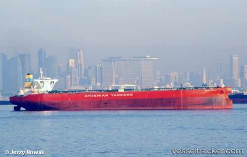
Vessel profile: KALLISTA is a Crude Oil Tanker with dimensions 333m x 60m.
This page combines live AIS, route history, probable destination signals, nearby traffic, and port activity for practical vessel monitoring.
The current position of vessel KALLISTA is -35.93182 lat / 21.38663 lng. Updated: 2026-06-03 04:37:50 UTCNearest reference points:
- 37 nm S of Mosselbaai
- 16 nm S of Mosselbaai
- Near Mosselbaai
Currently sailing under the flag of Panama ![]()
KALLISTA built in 2010 year
Deadweight:
317441 tDetails:
Live Vessel KALLISTA Analytics (details, animations, etc.)
Recent AIS points (UTC):
2026-06-03 03:51:20 UTC · -35.93115, 21.60183 · SOG 13.7 kn · COG 268°2026-06-03 03:51:20 UTC · -35.93115, 21.60183 · SOG 13.7 kn · COG 268°
2026-06-03 04:37:50 UTC · -35.93182, 21.38663 · SOG 13.3 kn · COG 269°
2026-06-03 04:37:50 UTC · -35.93182, 21.38663 · SOG 13.3 kn · COG 269°