 vesseltracker.com
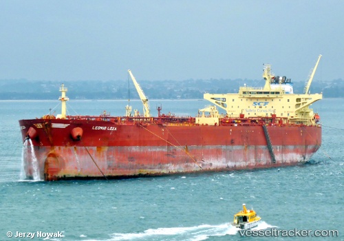
 LYNX
LYNX
Current Status
Where is the vessel?
LYNX is currently in 53 nm N of PA-TOU-TZU, based on AIS data received about 14h ago.
Latest AIS update:
Current position: 26.03333° N, 121.78167° E (53 nm N of PA-TOU-TZU)
Average speed (last 7 days): Loading…
Average speed (last 30 days): Loading…
Vessel profile: LYNX is a Crude Oil Tanker with dimensions m x m.
This page combines live AIS, route history, probable destination signals, nearby traffic, and port activity for practical vessel monitoring.
The current position of vessel LYNX is 26.03333 lat / 121.78167 lng. Updated: 2026-05-18 14:05:10 UTCNearest reference points:
- 66 nm SE of Sansha
- 11 nm NE of Bali
- Near PA-TOU-TZU
Currently sailing under the flag of Oman ![]()
Details:
Live Vessel LYNX Analytics (details, animations, etc.)
Recent AIS points (UTC):
2026-05-18 10:40:10 UTC · 26.58434, 122.38159 · SOG 13.8 kn · COG -1°2026-05-18 11:45:20 UTC · 26.42242, 122.16823 · SOG 13.9 kn · COG -1°
2026-05-18 13:43:48 UTC · 26.09107, 121.84566 · SOG 13.6 kn · COG 219°
2026-05-18 14:05:10 UTC · 26.03333, 121.78167 · SOG 13 kn · COG -1°