 vesseltracker.com
 ARA AMSTERDAM
Current Status
Where is the vessel?
ARA AMSTERDAM is currently in Near Gibraltar, based on AIS data received less than 1h ago.
Latest AIS update:
Current position: 36.12275° N, 6.29653° W (Near Gibraltar)
Average speed (last 7 days): Loading…
Average speed (last 30 days): Loading…
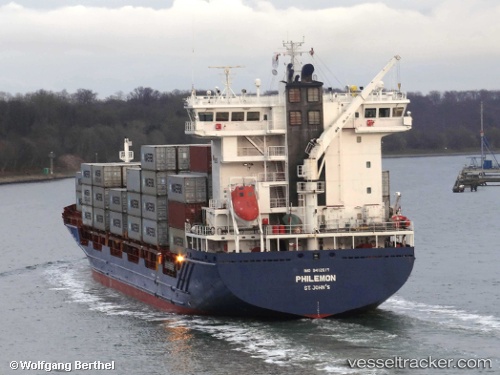
Vessel profile: ARA AMSTERDAM is a Container Ship with dimensions 158m x 23m.
This page combines live AIS, route history, probable destination signals, nearby traffic, and port activity for practical vessel monitoring.
The current position of vessel ARA AMSTERDAM is 36.12275 lat / -6.29653 lng. Updated: 2026-04-24 05:46:43 UTCNearest reference points:
- Near Gibraltar
- Near Conil de la Frontera
- Near Cadiz
Currently sailing under the flag of Portugal (MAR) ![]()
ARA AMSTERDAM built in 2010 year
Deadweight:
14483 tDetails:
Live Vessel ARA AMSTERDAM Analytics (details, animations, etc.)
Recent AIS points (UTC):
2026-04-24 01:31:45 UTC · 36.11976, -6.29466 · SOG 0.1 kn · COG 352°2026-04-24 03:43:44 UTC · 36.12086, -6.29631 · SOG 0.3 kn · COG 37°
2026-04-24 04:22:43 UTC · 36.12146, -6.29686 · SOG 0.3 kn · COG 53°
2026-04-24 05:46:43 UTC · 36.12275, -6.29653 · SOG 0 kn · COG 99°