 BOW COMPASS
Current Status
Where is the vessel?
BOW COMPASS is currently in 15 nm NW of Thorntonbank, based on AIS data received about 14h ago.
Latest AIS update:
Current position: 51.83892° N, 2.68565° E (15 nm NW of Thorntonbank)
Average speed (last 7 days): Loading…
Average speed (last 30 days): Loading…
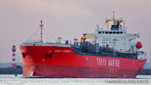
Vessel profile: BOW COMPASS is a Oil/Chemical Tanker with dimensions m x m.
This page combines live AIS, route history, probable destination signals, nearby traffic, and port activity for practical vessel monitoring.
The current position of vessel BOW COMPASS is 51.83892 lat / 2.68565 lng. Updated: 2026-05-20 02:06:53 UTCNearest reference points:
- 21 nm S of Craven Arms
- Near Thorntonbank
- 13 nm NW of Middelkerke
Currently sailing under the flag of Norway ![]()
Details:
Live Vessel BOW COMPASS Analytics (details, animations, etc.)
Recent AIS points (UTC):
2026-05-19 22:48:53 UTC · 51.24585, 2.07639 · SOG 12.2 kn · COG 35°2026-05-19 23:59:12 UTC · 51.47138, 2.19309 · SOG 13 kn · COG 39°
2026-05-20 01:06:53 UTC · 51.66729, 2.45395 · SOG 13.1 kn · COG 35°
2026-05-20 02:06:53 UTC · 51.83892, 2.68565 · SOG 13.7 kn · COG 40°