 ARCADIA
Current Status
Where is the vessel?
ARCADIA is currently in 17 nm S of Vrangel', based on AIS data received about 14h ago.
Latest AIS update:
Current position: 42.43646° N, 133.08463° E (17 nm S of Vrangel')
Average speed (last 7 days): Loading…
Average speed (last 30 days): Loading…
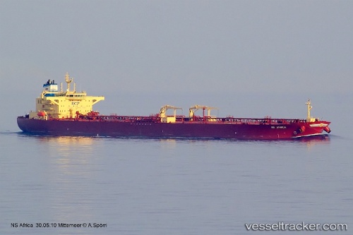
Vessel profile: ARCADIA is a Crude Oil Tanker with dimensions m x m.
This page combines live AIS, route history, probable destination signals, nearby traffic, and port activity for practical vessel monitoring.
The current position of vessel ARCADIA is 42.43646 lat / 133.08463 lng. Updated: 2026-06-17 20:02:05 UTCNearest reference points:
- 11 nm SE of Vrangel'
- Near Kozmino Port
- Near Vostochny
Currently sailing under the flag of Oman ![]()
Details:
Live Vessel ARCADIA Analytics (details, animations, etc.)
Recent AIS points (UTC):
2026-06-17 16:17:26 UTC · 42.42479, 133.09584 · SOG 0.2 kn · COG 40°2026-06-17 18:05:24 UTC · 42.43331, 133.08907 · SOG 0 kn · COG 80°
2026-06-17 19:35:55 UTC · 42.43626, 133.08517 · SOG 0.1 kn · COG 57°
2026-06-17 20:02:05 UTC · 42.43646, 133.08463 · SOG 0 kn · COG 49°