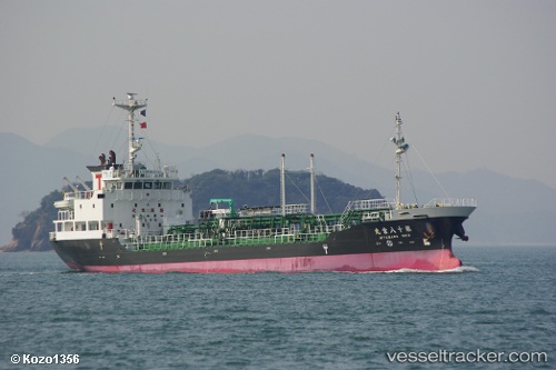
Miya Maru No.18
Current StatusWhere is the vessel?
Miya Maru No.18 is currently in 15 nm NE of ONAHAMA, based on AIS data received about 21h ago.
Latest AIS update:
Current position: 37.12833° N, 141.06168° E (15 nm NE of ONAHAMA)
Average speed (last 7 days): Loading…
Average speed (last 30 days): Loading…
Vessel profile: Miya Maru No.18 is a Oil Products Tanker with dimensions 12m x 80m.
This page combines live AIS, route history, probable destination signals, nearby traffic, and port activity for practical vessel monitoring.
The current position of vessel Miya Maru No.18 is 37.12833 lat / 141.06168 lng. Updated: 2026-07-09 07:55:43 UTCNearest reference points:
- 18 nm SE of Minamisoma
- 31 nm NE of ONAHAMA
- 32 nm NE of ONAHAMA
Details:
Live Vessel Miya Maru No.18 Analytics (details, animations, etc.)
Recent AIS points (UTC):
2026-07-09 04:04:42 UTC · 37.91833, 141.11333 · SOG 12 kn · COG -1°2026-07-09 04:52:45 UTC · 37.75500, 141.10333 · SOG 12 kn · COG -1°
2026-07-09 06:22:46 UTC · 37.44333, 141.08833 · SOG 12 kn · COG -1°
2026-07-09 07:55:43 UTC · 37.12833, 141.06168 · SOG 12 kn · COG -1°