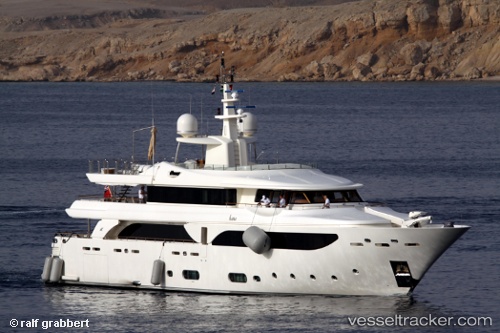
 HANA
HANA
Current Status
Where is the vessel?
HANA is currently in 14 nm SE of Golfe-Juan, based on AIS data received about 14h ago.
Latest AIS update:
Current position: 43.35853° N, 7.24671° E (14 nm SE of Golfe-Juan)
Average speed (last 7 days): Loading…
Average speed (last 30 days): Loading…
Vessel profile: HANA is a Yacht with dimensions m x m.
This page combines live AIS, route history, probable destination signals, nearby traffic, and port activity for practical vessel monitoring.
The current position of vessel HANA is 43.35853 lat / 7.24671 lng. Updated: 2026-05-20 09:39:55 UTCNearest reference points:
- Near Antibes
- 14 nm S of Saint-Jean-Cap-Ferrat/Nice
- Near Golfe-Juan
Currently sailing under the flag of Cayman Islands ![]()
Details:
Live Vessel HANA Analytics (details, animations, etc.)
Recent AIS points (UTC):
2026-05-20 06:01:23 UTC · 43.54237, 7.02604 · SOG 0.1 kn · COG 6°2026-05-20 07:43:25 UTC · 43.54244, 7.02542 · SOG 0.1 kn · COG 65°
2026-05-20 08:07:57 UTC · 43.54249, 7.02558 · SOG 0.6 kn · COG 128°
2026-05-20 09:39:55 UTC · 43.35853, 7.24671 · SOG 11.7 kn · COG 8°