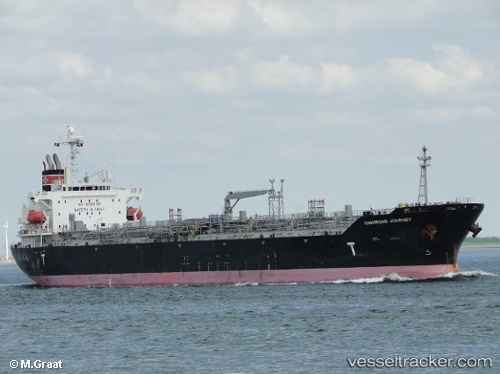
 CHEMROAD JOURNEY
Current Status
Where is the vessel?
CHEMROAD JOURNEY is currently in 85 nm S of Sagres, based on AIS data received about 14h ago.
Latest AIS update:
Current position: 35.66975° N, 9.53156° W (85 nm S of Sagres)
Average speed (last 7 days): Loading…
Average speed (last 30 days): Loading…
Vessel profile: CHEMROAD JOURNEY is a Chemical/Oil Products Tanker with dimensions 175m x 175m.
This page combines live AIS, route history, probable destination signals, nearby traffic, and port activity for practical vessel monitoring.
The current position of vessel CHEMROAD JOURNEY is 35.66975 lat / -9.53156 lng. Updated: 2026-05-21 04:11:41 UTCNearest reference points:
- 112 nm N of El Jadida
- 31 nm SW of Sagres
- 18 nm S of Sagres
Currently sailing under the flag of Panama ![]()
CHEMROAD JOURNEY built in 2009 year
Deadweight:
33526 tDetails:
Live Vessel CHEMROAD JOURNEY Analytics (details, animations, etc.)
Recent AIS points (UTC):
2026-05-21 01:07:14 UTC · 36.37466, -9.75845 · SOG 14.5 kn · COG 167°2026-05-21 01:51:56 UTC · 36.20042, -9.70653 · SOG 14.3 kn · COG 162°
2026-05-21 03:23:38 UTC · 35.85066, -9.58782 · SOG 14.1 kn · COG 162°
2026-05-21 04:11:41 UTC · 35.66975, -9.53156 · SOG 14.1 kn · COG 163°