 Sabrina
Current Status
Where is the vessel?
Sabrina is currently in 306 nm N of GRIMSEY, based on AIS data received about 599d ago.
Latest AIS update:
Current position: 71.60635° N, 19.50583° W (306 nm N of GRIMSEY)
Average speed (last 7 days): Loading…
Average speed (last 30 days): Loading…
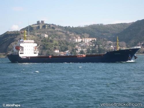
Vessel profile: Sabrina is a General Cargo Ship with dimensions 128m x 18m.
This page combines live AIS, route history, probable destination signals, nearby traffic, and port activity for practical vessel monitoring.
The current position of vessel Sabrina is 71.60635 lat / -19.50583 lng. Updated: 2024-10-21 10:12:37 UTCNearest reference points:
- Open sea (no nearby ports in database)
- Open sea, approx. 402 nm off the nearest listed port
Currently sailing under the flag of Liberia ![]()
Sabrina built in 2006 year
Deadweight:
10975 tDetails:
Live Vessel Sabrina Analytics (details, animations, etc.)
Recent AIS points (UTC):
2024-10-21 10:12:37 UTC · 71.60635, -19.50583 · SOG 16.3 kn · COG 332°