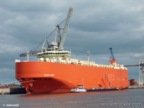
 GLOVIS CONDOR
Current Status
Where is the vessel?
GLOVIS CONDOR is currently in 86 nm SW of Hwasun, based on AIS data received about 15h ago.
Latest AIS update:
Current position: 31.96118° N, 125.54117° E (86 nm SW of Hwasun)
Average speed (last 7 days): Loading…
Average speed (last 30 days): Loading…
Vessel profile: GLOVIS CONDOR is a Vehicles Carrier with dimensions 32m x 199m.
This page combines live AIS, route history, probable destination signals, nearby traffic, and port activity for practical vessel monitoring.
The current position of vessel GLOVIS CONDOR is 31.96118 lat / 125.54117 lng. Updated: 2026-06-17 07:39:30 UTCNearest reference points:
- 94 nm S of Hwasun
- 66 nm S of Hwasun
- 75 nm S of Hwasun
Currently sailing under the flag of Korea (Republic of) ![]()
GLOVIS CONDOR built in 2011 year
Deadweight:
22351 tDetails:
Live Vessel GLOVIS CONDOR Analytics (details, animations, etc.)
Recent AIS points (UTC):
2026-06-17 07:35:30 UTC · 31.94936, 125.52560 · SOG 15.7 kn · COG 43°2026-06-17 07:35:30 UTC · 31.94936, 125.52560 · SOG 15.7 kn · COG 43°
2026-06-17 07:39:30 UTC · 31.96118, 125.54117 · SOG 16 kn · COG 43°
2026-06-17 07:39:30 UTC · 31.96118, 125.54117 · SOG 16 kn · COG 43°