 vesseltracker.com
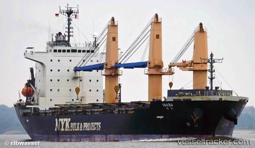
 Inaba
Inaba
Current Status
Where is the vessel?
Inaba is currently in 301 nm W of Bolinao, based on AIS data received about 1d ago.
Latest AIS update:
Current position: 15.46232° N, 114.75238° E (301 nm W of Bolinao)
Average speed (last 7 days): Loading…
Average speed (last 30 days): Loading…
Vessel profile: Inaba is a General Cargo Ship with dimensions 147m x 25m.
This page combines live AIS, route history, probable destination signals, nearby traffic, and port activity for practical vessel monitoring.
The current position of vessel Inaba is 15.46232 lat / 114.75238 lng. Updated: 2026-05-17 22:32:40 UTCNearest reference points:
- 282 nm E of Tan Cang Qui Nhon
- 222 nm W of Iba
- 215 nm NE of Tan Cang Qui Nhon
Currently sailing under the flag of Panama ![]()
Inaba built in 2008 year
Deadweight:
20145 tDetails:
Live Vessel Inaba Analytics (details, animations, etc.)
Recent AIS points (UTC):
2026-05-17 22:32:40 UTC · 15.46232, 114.75238 · SOG 12.2 kn · COG 208°2026-05-17 22:32:40 UTC · 15.46232, 114.75238 · SOG 12.2 kn · COG 208°
2026-05-17 22:32:40 UTC · 15.46232, 114.75238 · SOG 12.2 kn · COG 208°
2026-05-17 22:32:40 UTC · 15.46232, 114.75238 · SOG 12.2 kn · COG 208°