 DEMA
DEMA
Current Status
Where is the vessel?
DEMA is currently in 13 nm NE of Okha, based on AIS data received about 14h ago.
Latest AIS update:
Current position: 22.60067° N, 69.27331° E (13 nm NE of Okha)
Average speed (last 7 days): Loading…
Average speed (last 30 days): Loading…
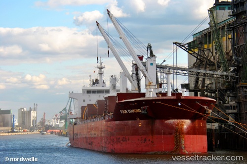
Vessel profile: DEMA is a Bulk Carrier with dimensions m x m.
This page combines live AIS, route history, probable destination signals, nearby traffic, and port activity for practical vessel monitoring.
The current position of vessel DEMA is 22.60067 lat / 69.27331 lng. Updated: 2026-05-21 07:03:45 UTCNearest reference points:
- 13 nm W of Måndvi
- Near Khambhaliya
- Near SIKKA
Currently sailing under the flag of Marshall Islands ![]()
Details:
Live Vessel DEMA Analytics (details, animations, etc.)
Recent AIS points (UTC):
2026-05-21 03:49:10 UTC · 22.66748, 69.84185 · SOG 11 kn · COG -1°2026-05-21 04:59:25 UTC · 22.62138, 69.61873 · SOG 10.9 kn · COG -1°
2026-05-21 06:40:23 UTC · 22.59887, 69.32816 · SOG 8.8 kn · COG -1°
2026-05-21 07:03:45 UTC · 22.60067, 69.27331 · SOG 7.5 kn · COG -1°