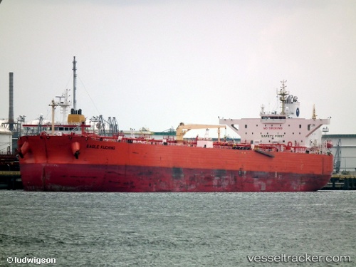
 EAGLE KUCHING
Current Status
Where is the vessel?
EAGLE KUCHING is currently in Near Map Ta Phut, based on AIS data received about 15h ago.
Latest AIS update:
Current position: 12.55991° N, 101.21919° E (Near Map Ta Phut)
Average speed (last 7 days): Loading…
Average speed (last 30 days): Loading…
Vessel profile: EAGLE KUCHING is a Crude Oil Tanker with dimensions m x m.
This page combines live AIS, route history, probable destination signals, nearby traffic, and port activity for practical vessel monitoring.
The current position of vessel EAGLE KUCHING is 12.55991 lat / 101.21919 lng. Updated: 2026-05-21 04:13:34 UTCNearest reference points:
- 11 nm S of Map Ta Phut
- Near SATTAHIP
- 33 nm S of SATTAHIP
Currently sailing under the flag of Malaysia ![]()
Details:
Live Vessel EAGLE KUCHING Analytics (details, animations, etc.)
Recent AIS points (UTC):
2026-05-21 01:55:31 UTC · 12.55978, 101.21934 · SOG 0 kn · COG 250°2026-05-21 02:31:32 UTC · 12.55964, 101.21932 · SOG 0 kn · COG 253°
2026-05-21 03:58:34 UTC · 12.55993, 101.21925 · SOG 0 kn · COG 245°
2026-05-21 04:13:34 UTC · 12.55991, 101.21919 · SOG 0 kn · COG 245°