 SELAM
SELAM
Current Status
Where is the vessel?
SELAM is currently in 10 nm NW of Marmara Adasi, based on AIS data received about 14h ago.
Latest AIS update:
Current position: 40.67380° N, 27.36321° E (10 nm NW of Marmara Adasi)
Average speed (last 7 days): Loading…
Average speed (last 30 days): Loading…
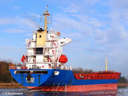
Vessel profile: SELAM is a General Cargo with dimensions m x m.
This page combines live AIS, route history, probable destination signals, nearby traffic, and port activity for practical vessel monitoring.
The current position of vessel SELAM is 40.67380 lat / 27.36321 lng. Updated: 2026-05-19 03:48:11 UTCNearest reference points:
- Near Sarköy
- Near Saraylar
- Near Marmara Adasi
Currently sailing under the flag of Saint Kitts and Nevis ![]()
Details:
Live Vessel SELAM Analytics (details, animations, etc.)
Recent AIS points (UTC):
2026-05-18 23:34:11 UTC · 40.85146, 28.30291 · SOG 10.3 kn · COG 262°2026-05-19 01:30:13 UTC · 40.79968, 27.86304 · SOG 10.7 kn · COG 261°
2026-05-19 01:31:28 UTC · 40.79929, 27.85914 · SOG 10.7 kn · COG 260°
2026-05-19 03:48:11 UTC · 40.67380, 27.36321 · SOG 10.3 kn · COG 239°